 |
| Source: ASIDE 2016 |
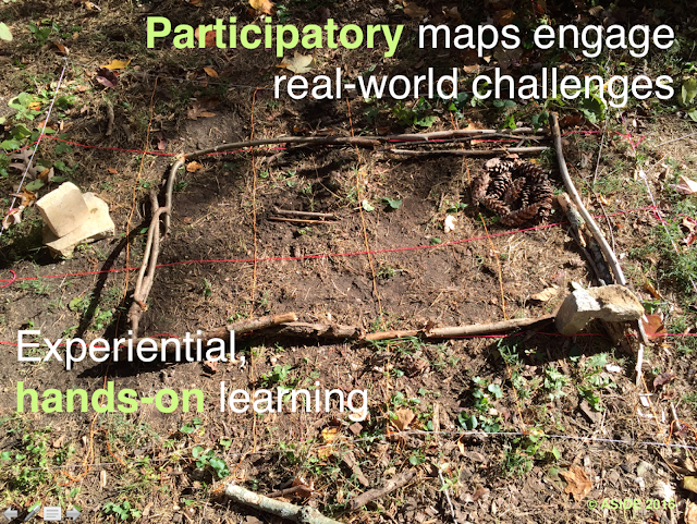
Interactive mapping techniques invite students to connect with content to visualize information beyond mere location. Mapping challenges learners to think, develop literacy skills, and understand the complexity of global issues. It enables learners to seek new ways to look at information through a lens of inquiry-based analysis.
Fresh perspectives on traditional maps can help students classify the images they encounter and can assist them in developing their own visualizations of places and events. This finely-tuned practice reinforces the notion of relational meaning. It taps the core skills of graphicacy through the synchronicity of visual literacy and visual thinking.
As a result, our students become better geographers and designers by interpreting existing maps, by drawing their own maps with a cartographer’s eye, or by creating visualizations with a keen sense of space. Students must decode the augmented reality (AR) by "reading" images and internalizing pictorial stimuli. These precise, learned techniques foster confidence both in deciphering and in creating pictorial representations, as well as developing critical thinking skills to better understand the world.


